In the Dakar, riders navigate with an organiser-supplied electronic roadbook that shows a sequence of tulip diagrams and distances. They pair it with a tripmaster (odometer) and a heading (CAP), and a GPS that only validates waypoints and won’t guide them. This page explains how that system works, how to read a roadbook box by box, what FIM, FIA and Dakar rules allow on board, and how to train before race day. You can build these skills on a digital roadbook like the F2R Y1000.
How does navigation work in the Dakar?
Dakar navigation combines three things: the official roadbook, which describes the route box by box; a distance reference (the tripmaster or odometer); and the compass heading, or CAP. The organiser’s GPS doesn’t show the route. It records your passage at compulsory waypoints and only reveals full information when you are close to one.
The roadbook: the official route
The roadbook is the official description of the special stage. It’s a sequence of numbered boxes, and each box gives a total distance, a tulip diagram of what you’ll see at that point and short notes such as landmarks or dangers. Riders follow it in order from the start of the stage to the finish.
At the Dakar the roadbook is electronic and supplied by the organiser. The Dakar 2026 supplementary regulations published by ASO list the “Electronic Road Book” among the items included in the entry fee (Dakar 2026 FIM SR, Dakar 2026 FIA SR).
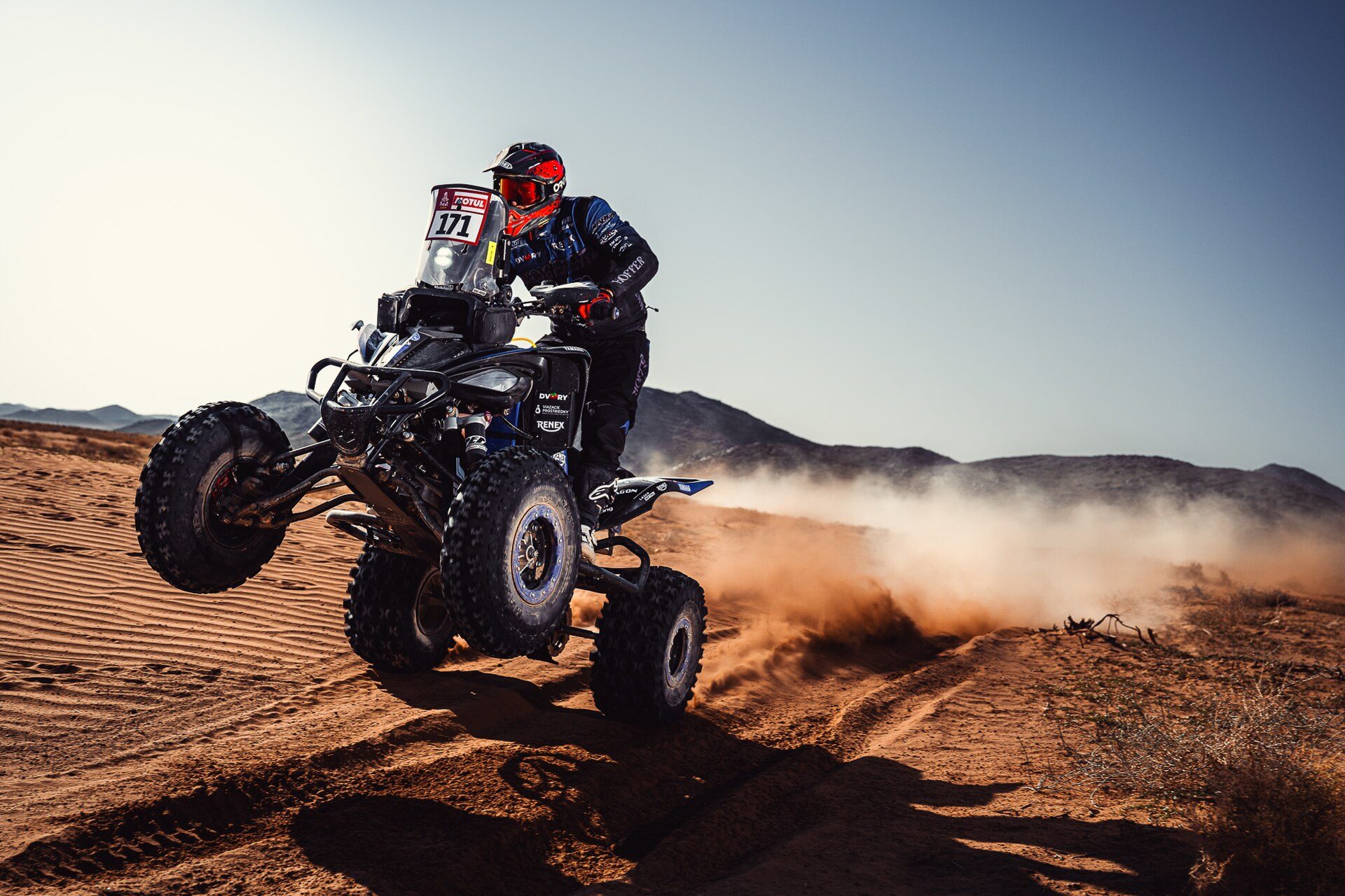
Waypoints and the organiser GPS
Along the stage there are compulsory points: waypoints (WPV visible, WPM masked, WPS safety, WPE eclipse), speed-controlled zones (DZ start and FZ end) and checkpoints (CP). The GPS is an enforcement tool, not a guide. Under the 2026 FIM W2RC rules, between masked waypoints the GPS only shows compass heading and speed, and full GPS information appears only within 1,000 m of a WPM. To validate a WPM you must pass within 90 m of it (FIM W2RC 2026, Art. 11.3).
CAP (heading) and distance
The rider’s job is to match two numbers to the terrain: the distance on the odometer and the CAP printed in the roadbook box. When the odometer reads the distance in the next box, the tulip tells you what to look for and the CAP tells you which direction to leave in. In open terrain with no track, the CAP is often the only reference you have.
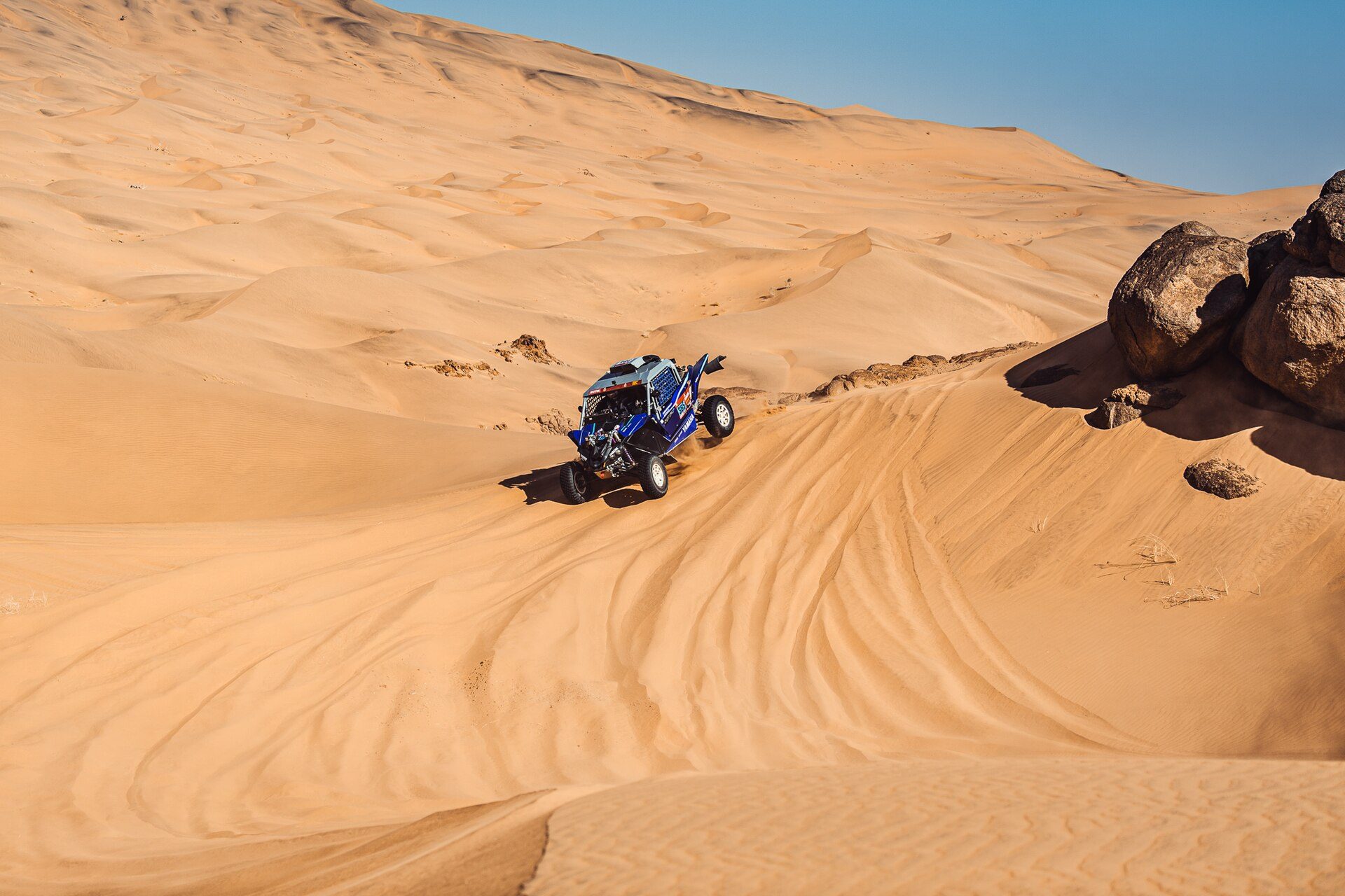
What’s different for cars and SSVs
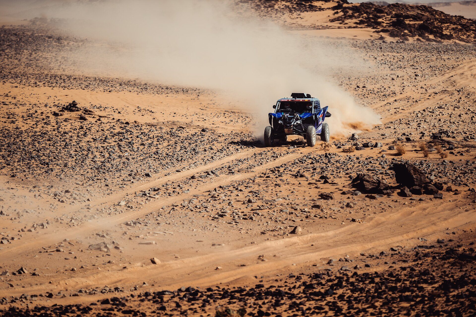
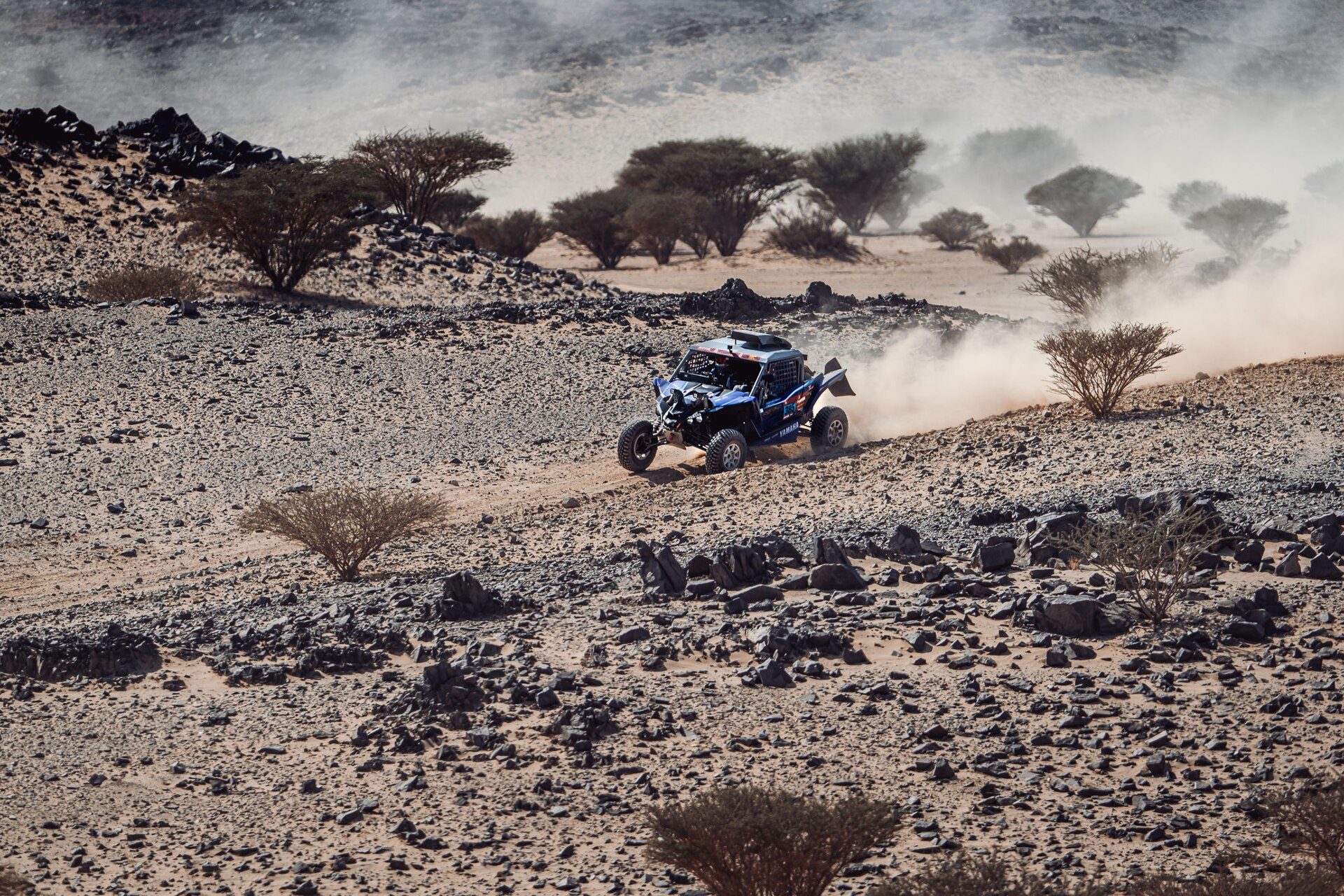
In cars and SSVs the co-driver (navigator) reads the roadbook and calls the notes, while the driver concentrates on driving. The principles are the same: boxes, distances, CAP and waypoints. F2R offers a Y1000 Auto bundle for cars and SSVs.
Want to see what a modern digital roadbook does compared with the old scroll? Read about the new era of digital roadbooks.
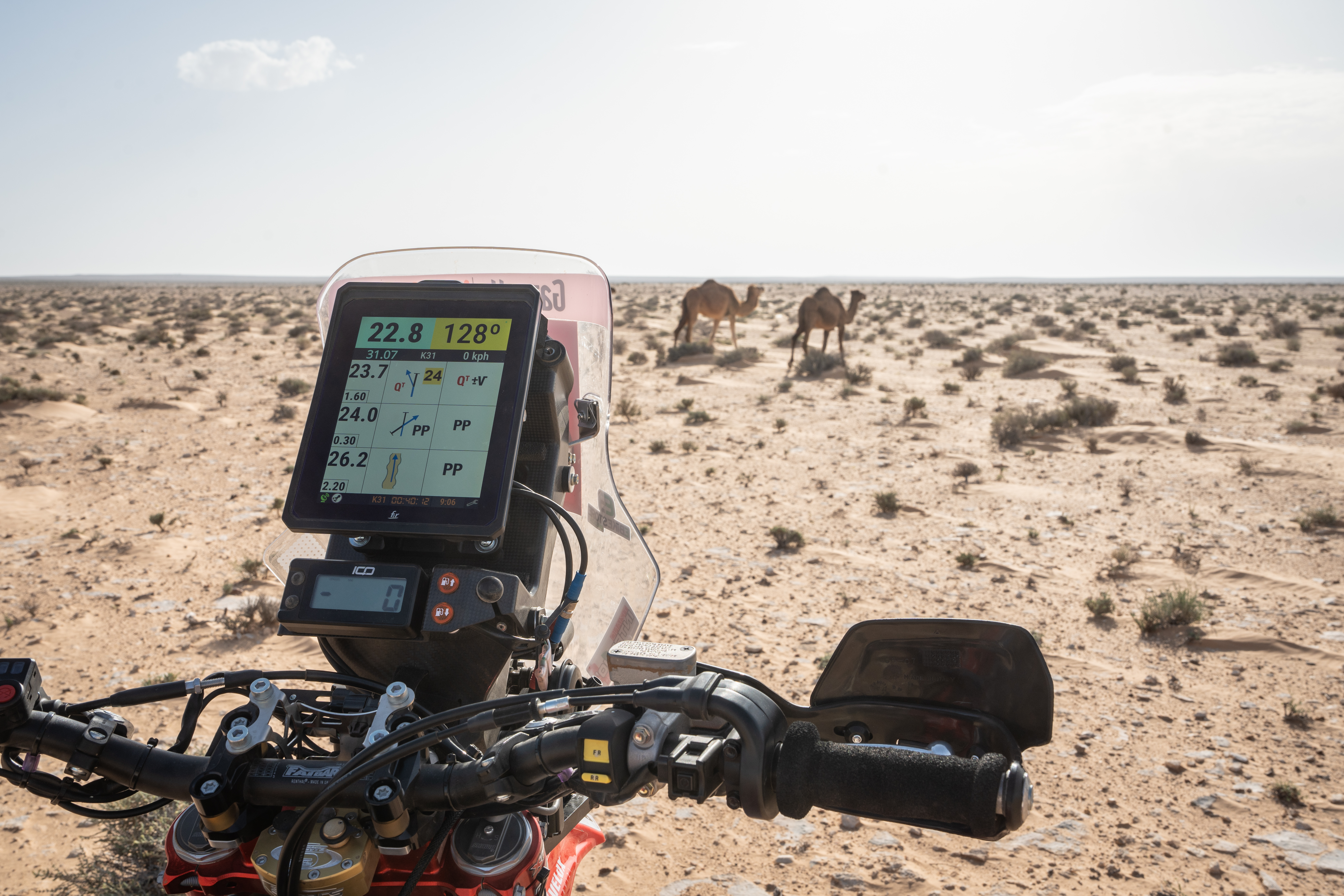
How to read a rally roadbook and its symbols
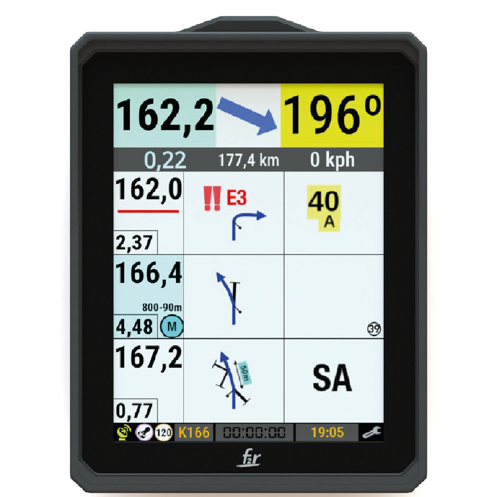
Read a roadbook box by box: total distance, partial distance since the previous box, the tulip diagram (you enter at the dot and leave at the arrow), the CAP, and the notes and danger symbols.
Anatomy of a roadbook box
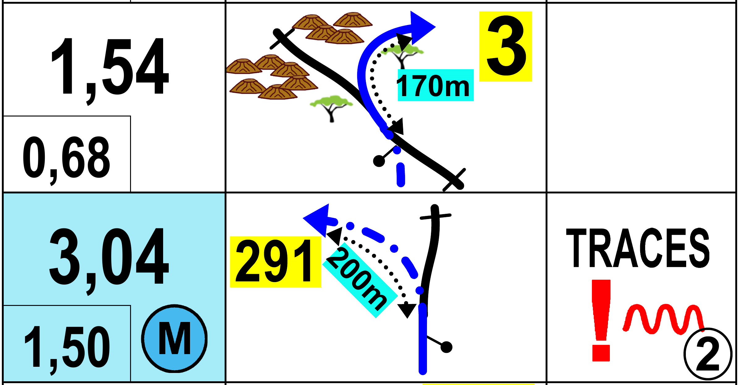
- Total distance: distance from the start of the stage. Compare it with your odometer.
- Partial distance: distance since the previous box, useful for anticipating the next instruction.
- Tulip diagram: a bird’s-eye sketch of the junction or landmark. You enter at the dot and leave at the arrow.
- CAP: the compass heading to follow when you leave the box.
- Notes and symbols: landmarks, terrain, waypoint markers and danger levels.
Common roadbook symbols
Symbols describe the type of track, junctions, landmarks (trees, cairns, buildings, wells) and terrain (dunes, stones, holes). In FIM rules an existing track is drawn as a solid line and an off-track section as a broken line (FIM Cross-Country Rallies, Art. 080.11). Dangers are graded with exclamation marks: ! (danger 1), !! (danger 2) and !!! (danger 3). Under the W2RC rules a danger 3 must be covered by a safety waypoint (WPS) (FIM W2RC 2026, Art. 11.4). Waypoint abbreviations (WPV, WPM, WPS, WPE, DZ, FZ, CP) also appear directly in the boxes.
Where to find the official symbol list
FIM rules require the complete list of symbols to appear in the first roadbook of the event, in at least two languages including English (FIM Cross-Country Rallies, Art. 080.11.4). For the Dakar, the organiser publishes a roadbook lexicon on dakar.com.
Practical reading tips
- Read two or three boxes ahead so you’re never surprised by the next junction.
- Reset or correct the odometer at known points, such as a clear junction or a waypoint.
- Trust the CAP in open terrain, even when tracks seem to lead somewhere else.
- Watch the danger symbols first: they matter more than speed.
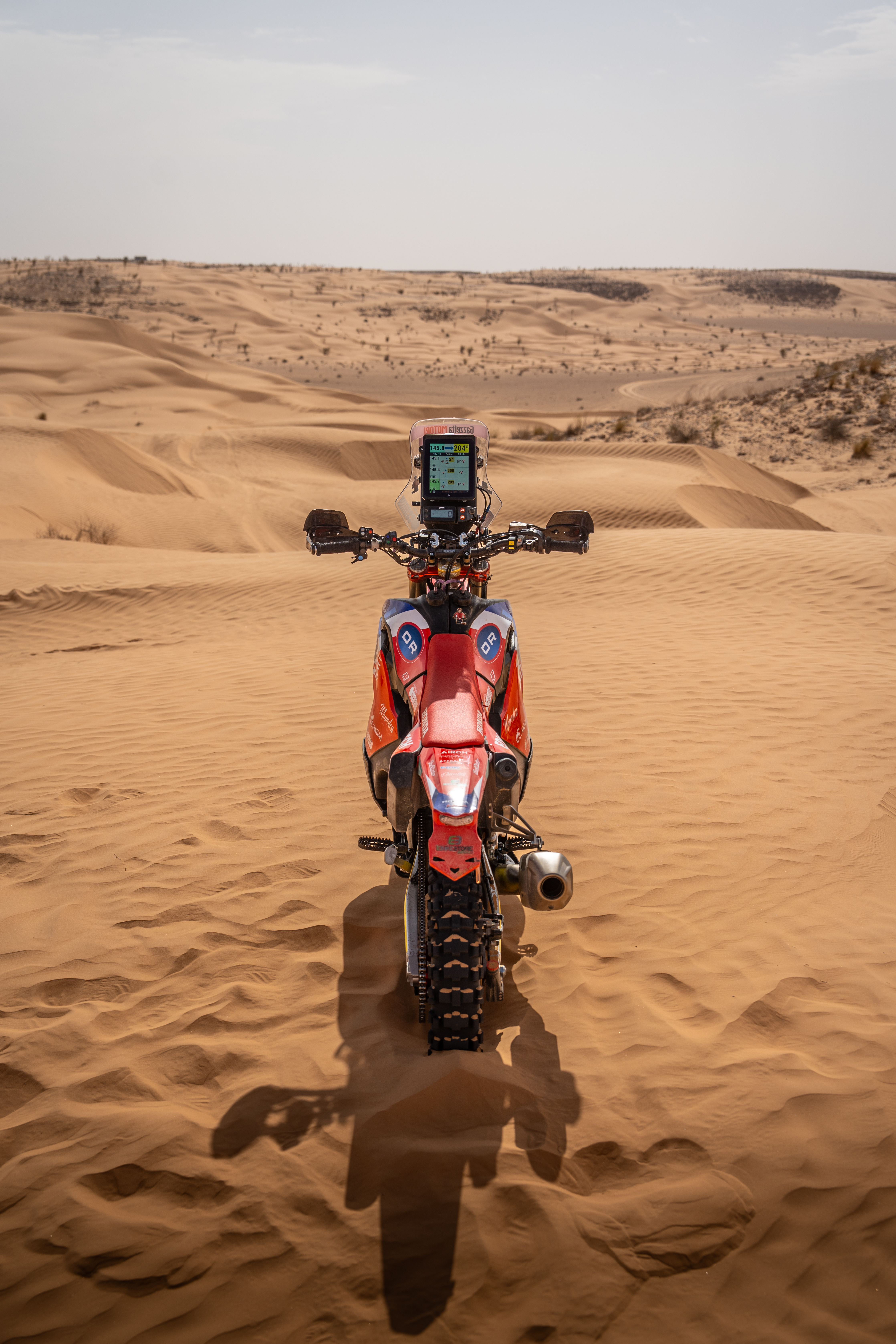
Roadbooks were traditionally printed on a scroll; today they’re usually read on a digital device.
The FIM roadbook lexicon: symbols and abbreviations
The FIM publishes the official list of road-book symbols and abbreviations used in its World Rally-Raid Championship. FIM rules require the complete list of symbols to appear in the first roadbook of an event.
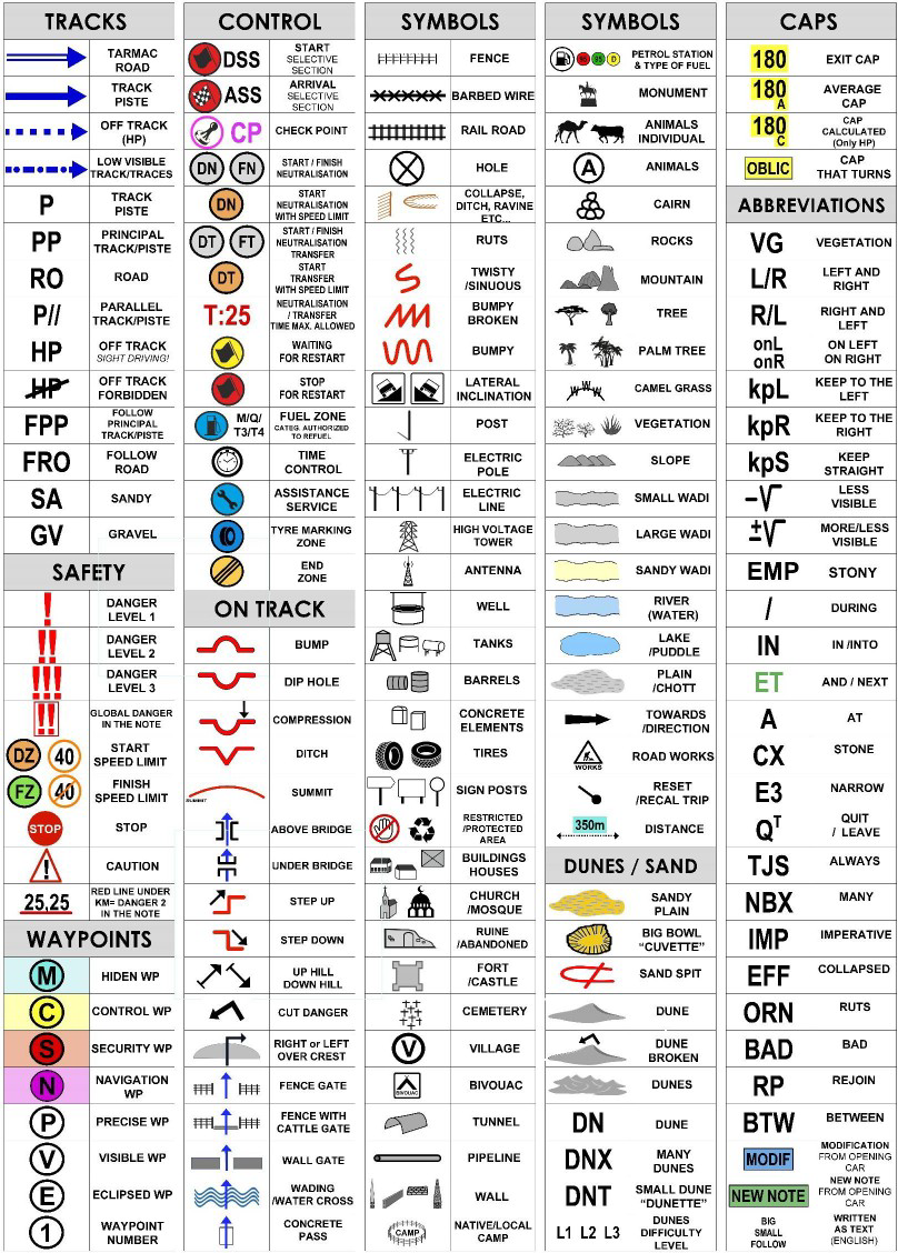
Main symbols and abbreviations in text
| Category | Symbol / abbreviation | Meaning |
|---|---|---|
| Tracks | P | Track / piste |
| Tracks | PP | Principal track / piste |
| Tracks | RO | Road |
| Tracks | P// | Parallel track / piste |
| Tracks | HP | Off track (sight driving) |
| Tracks | HP (struck through) | Off track forbidden |
| Tracks | FPP | Follow principal track / piste |
| Tracks | FRO | Follow road |
| Tracks | SA | Sandy |
| Tracks | GV | Gravel |
| Control | DSS | Start of selective section |
| Control | ASS | Arrival of selective section |
| Control | CP | Check point |
| Control | DN / FN | Start / finish of neutralisation |
| Control | DT / FT | Start / finish of neutralisation transfer |
| Control | T:25 | Neutralisation / transfer: maximum time allowed |
| Safety | ! | Danger level 1 |
| Safety | !! | Danger level 2 |
| Safety | !!! | Danger level 3 |
| Safety | DZ | Start of speed limit |
| Safety | FZ | Finish of speed limit |
| Safety | STOP | Stop |
| Safety | 25.25 (underlined red) | Red line under the km = danger 2 in the note |
| Waypoints | M (in a circle) | Hidden WP |
| Waypoints | C (in a circle) | Control WP |
| Waypoints | S (in a circle) | Security WP |
| Waypoints | N (in a circle) | Navigation WP |
| Waypoints | P (in a circle) | Precise WP |
| Waypoints | V (in a circle) | Visible WP |
| Waypoints | E (in a circle) | Eclipsed WP |
| Waypoints | 1 (in a circle) | Waypoint number |
| CAPs | 180 | Exit CAP |
| CAPs | 180 A | Average CAP |
| CAPs | 180 C | CAP calculated (only HP) |
| CAPs | OBLIC | CAP that turns |
| Dunes / sand | DN | Dune |
| Dunes / sand | DNX | Many dunes |
| Dunes / sand | DNT | Small dune (“dunette”) |
| Dunes / sand | L1 L2 L3 | Dunes difficulty level |
| Abbreviations | VG | Vegetation |
| Abbreviations | L/R | Left and right |
| Abbreviations | R/L | Right and left |
| Abbreviations | onL / onR | On left / on right |
| Abbreviations | kpL | Keep to the left |
| Abbreviations | kpR | Keep to the right |
| Abbreviations | kpS | Keep straight |
| Abbreviations | −V | Less visible |
| Abbreviations | ±V | More / less visible |
| Abbreviations | EMP | Stony |
| Abbreviations | / | During |
| Abbreviations | IN | In / into |
| Abbreviations | ET | And / next |
| Abbreviations | A | At |
| Abbreviations | CX | Stone |
| Abbreviations | E3 | Narrow |
| Abbreviations | QT | Quit / leave |
| Abbreviations | TJS | Always |
| Abbreviations | NBX | Many |
| Abbreviations | IMP | Imperative |
| Abbreviations | EFF | Collapsed |
| Abbreviations | ORN | Ruts |
| Abbreviations | BAD | Bad |
| Abbreviations | RP | Rejoin |
| Abbreviations | BTW | Between |
| Abbreviations | MODIF | Modification from opening car |
| Abbreviations | NEW NOTE | New note from opening car |
The FIM chart also includes pictograms for on-track features (bumps, dip holes, compressions, ditches, bridges, gates, water crossings) and landmarks such as fences, wells, trees, wadis, villages and camps. See the image above for the full set.
Do you need a separate tripmaster with a digital roadbook?
It depends on the system. At the Dakar and in the W2RC, the organiser’s ERTF/official digital roadbook system may or may not show tripmasters on its own screen, and some riders prefer to add an external tripmaster while others don’t. The F2R Y1000 has virtual tripmasters built in, so you don’t need an external one.
What a tripmaster does
A tripmaster measures distance and lets you correct it up or down to match the roadbook; many also display CAP. On the Y1000 these functions are built in as virtual tripmasters, operated from the remote control.
What the rules say
- FIA (2026 Cross-Country Rally Sporting Regulations, W2RC appendix): a mechanical tripmeter of the competitor’s choice is optional. It must work from wheel or driveshaft rotation only, must have no GPS chip, and must have no connection that lets another device couple to it. It may be fitted twice. A GPS trip meter is optional and limited to measuring functions (FIA 2026 CCR SR, Art. 12.4).
- FIM (W2RC 2026): an optional GPS odometer is allowed “unless otherwise specified in the Supplementary Regulations”, with measurement functions only (Art. 29.2). The odometer is recalibrated automatically at each waypoint (Art. 11.2; within 30 m before a WPS, Art. 11.4) (FIM W2RC 2026).
The Y1000: a complete navigation cockpit on its own
The F2R Y1000 is a complete navigation cockpit by itself: digital roadbook, virtual tripmasters and remote control working together. You don’t need extra instruments to train or to ride rallies that allow your own device. It’s clear to read, built for off-road riding and simple to operate without taking your hands off the bars.
Which navigation devices are allowed under FIM, FIA and Dakar rules?
At the Dakar and in the FIM and FIA world championships, you can’t race with your own digital roadbook. The organiser supplies the GPS and electronic roadbook, and the rules strictly limit any other navigation device. National and regional rallies set their own rules, and many let riders use their own digital roadbook. Always check the event’s supplementary regulations.
Last checked: 14 October 2026. Rules change every season. This summary reflects the 2026 documents listed below.
Dakar 2026 (ASO)
The entry fee includes the Electronic Road Book, while mounts and accessories for the safety and navigation devices are bought separately (Dakar 2026 regulations). According to ASO, the ERTF electronic roadbook equips the whole Dakar fleet, while Dakar Classic, assistance and press use the TRIPY K (Dakar safety material).
FIM (W2RC 2026)
- The GPS is provided by the organiser and is compulsory. Possessing any system not explicitly mentioned in the rules is forbidden and will result in disqualification from the race (Art. 29.1).
- Only digital screens provided by the organisation may be fitted on motorcycles, unless authorised by the FIM Technical Director or the Chief Technical Steward (Art. 29.3).
- Optional items: a GPS heading/speed repeater, a compass and a GPS odometer (Art. 29.2).
- Only Briefing notes may be carried on board (Art. 11.4).
Source: 2026 FIM W2RC Sporting Regulations.
FIA (2026 Cross-Country Rally Sporting Regulations)
- Any device not expressly permitted is forbidden (Art. 9.1.1).
- The organiser’s NAV-GPS is compulsory.
- Optional items: organiser-approved repeaters, a mechanical tripmeter of free choice and a compass.
- Any other GPS-type, dead-reckoning or inertial device is prohibited (W2RC appendix, Art. 12.2.4 to 12.2.8).
Source: FIA 2026 Cross-Country Rally Sporting Regulations.
National rallies, raids and training events
Rules vary by event. Some organisers supply their own devices, while others allow riders to use their own digital roadbook. Read the supplementary regulations of each event, or ask the organiser, before you plan your cockpit.
| Event level | Who supplies the roadbook device | Own digital roadbook in race? | Source |
|---|---|---|---|
| Dakar (ASO) | Organiser (Electronic Road Book included in entry fee) | No | Dakar 2026 FIM/FIA SR |
| FIM W2RC (motorcycles) | Organiser (GPS compulsory; only organiser screens unless authorised) | No | FIM W2RC 2026, Art. 29.1–29.3 |
| FIA W2RC (cars, SSVs, trucks) | Organiser (NAV-GPS compulsory) | No | FIA 2026 CCR SR, Art. 9.1.1, 12.2.4–12.2.8 |
| National and regional rallies, raids, training events | Depends on the event | Often allowed; check the event’s SR | Each event’s supplementary regulations |
How to train for rally-raid navigation with a digital roadbook
Because Dakar-level races hand you the organiser’s device, train before the event. Ride real roadbooks on a digital roadbook at home events, training camps and rallies that allow your own device, so reading boxes, managing distance and following CAP become automatic.
Why training matters
On race day only the Briefing notes may be carried on board (FIM W2RC 2026, Art. 11.4), there’s no route reconnaissance, and every navigation mistake costs time or a penalty. The skills have to be in place before you reach the start line.
A training plan
- Short loops: start with short roadbooks on known ground and focus on reading every box.
- Longer, faster sessions: increase distance and speed while keeping your reading two or three boxes ahead.
- Odometer corrections: practise correcting distance at known points until it becomes automatic.
- CAP-only off-track legs: ride sections with no track and only a heading to follow.
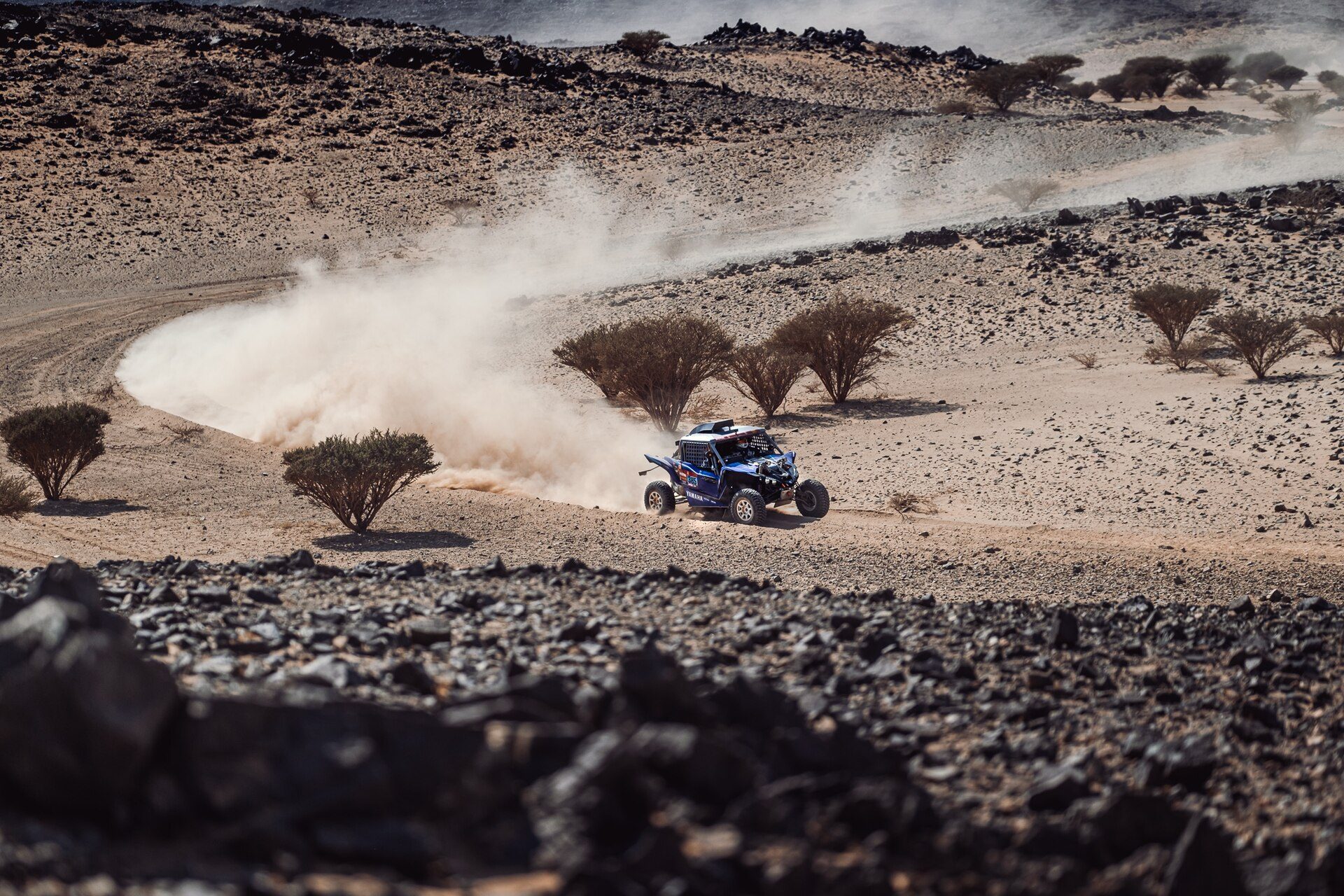
- Ride fresh ground: train where there are no tracks or marks left by riders ahead, so you navigate from the roadbook and not by following others.
- Remote controls: learn to scroll and correct without taking your hands off the bars, using remote controls.
Why use a digital roadbook to train
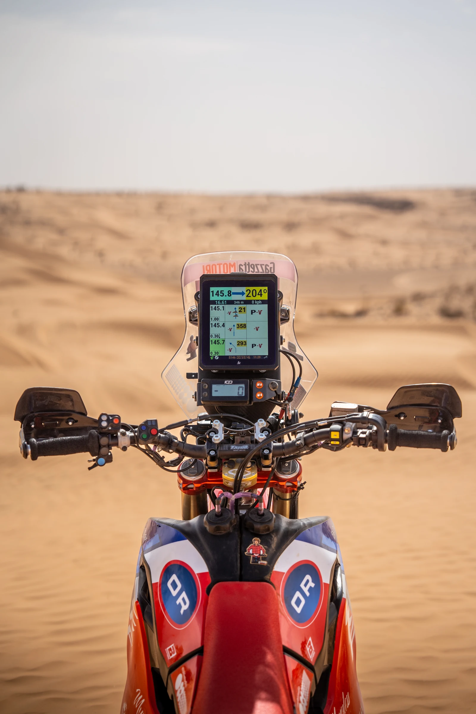
A digital roadbook matches the box-by-box electronic format riders meet at the Dakar. The F2R Y1000 digital roadbook is built for rally use: a clear, sunlight-readable display, a rugged body made for off-road riding, and remote-control operation so you keep your hands on the bars. With the F2R Roadbook App you load roadbooks, use the virtual tripmasters and validate waypoints during training. See the Y1000 user guides for setup.
Who trains this way
Red Bull KTM chose the Y1000 to prepare and train navigation.
Where you can race with it
You can race with the Y1000 at rallies whose regulations permit your own device, such as many national and regional rallies, raids, training camps and navigation schools. Always check the supplementary regulations of each event.
Build roadbook skills before race day.
Train like the pros: discover the F2R Y1000 digital roadbook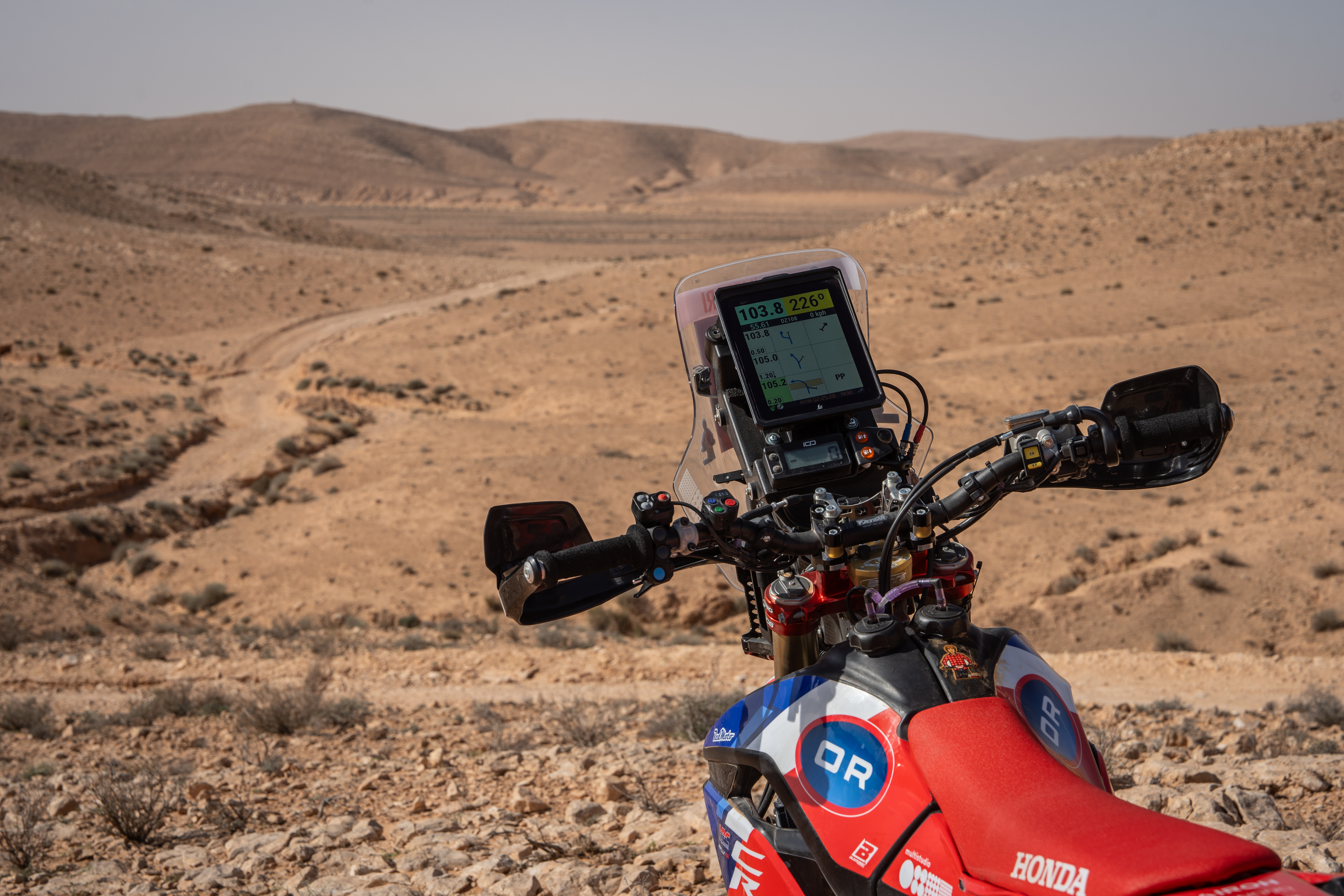
Build your navigation setup with F2R
The F2R Y1000 is a complete rally-raid navigation cockpit on its own: digital roadbook, virtual tripmasters and remote control. Add a solid mount and the accessories you need.
- F2R Y1000 digital roadbook: the centre of your cockpit, for training and for rallies that allow your own device.
- Y1000 Moto bundle and Y1000 Auto bundle (cars/SSV): ready-to-fit packs.
- Y1000 spares and accessories.
- Remote controls and support brackets.
FAQ
Can I use my own digital roadbook in the Dakar?
No. At the Dakar the organiser supplies the electronic roadbook and GPS, and FIM/FIA rules restrict other navigation devices. Riders use their own digital roadbook, such as the F2R Y1000, to train and at rallies whose regulations allow it.
Do I need a separate tripmaster with the F2R Y1000?
No. The F2R Y1000 has virtual tripmasters built in, so distance, CAP and corrections run on the same device as the digital roadbook. At the Dakar and in the W2RC, the organiser’s ERTF/official digital roadbook system may or may not show tripmasters on its screen, and riders choose whether to add an external one.
What do the symbols in a rally roadbook mean?
Roadbook symbols describe the track type (for example P for track, PP for principal track, HP for off track), control points such as DSS and ASS, danger levels from ! to !!!, waypoints (hidden, control, security, navigation, visible, eclipsed) with their number in a circle, the CAP, and abbreviations such as kpS or BTW. The official symbol chart is in the FIM W2RC regulations (p. 91), and the Dakar publishes a roadbook lexicon on dakar.com.
What is CAP in a roadbook?
CAP is the compass heading to follow when you leave a roadbook box. It is given in degrees next to the tulip diagram and is especially important off-track, where there is no visible path and the heading is often the only reference.
How do I practise roadbook navigation?
Ride real roadbooks on training loops, at training camps and at rallies that allow your own device, using a digital roadbook such as the F2R Y1000. Start with short loops, then practise odometer corrections, CAP-only off-track legs on fresh ground with no marks from riders ahead.
What happens if I miss a waypoint?
You receive a penalty according to the type of waypoint missed. Under the FIM W2RC rules you may go back to validate it, but you must never ride the rally route in the opposite direction; on a single narrow track, doing so means disqualification (FIM W2RC 2026, Art. 11.1). Check the event’s regulations for the exact penalties.
Does the F2R Y1000 work for cars and SSVs?
Yes. F2R offers a Y1000 Auto bundle for cars and SSVs, so the co-driver can read the roadbook on the same digital device used by motorcycle riders, for training and at rallies whose regulations allow your own device.


